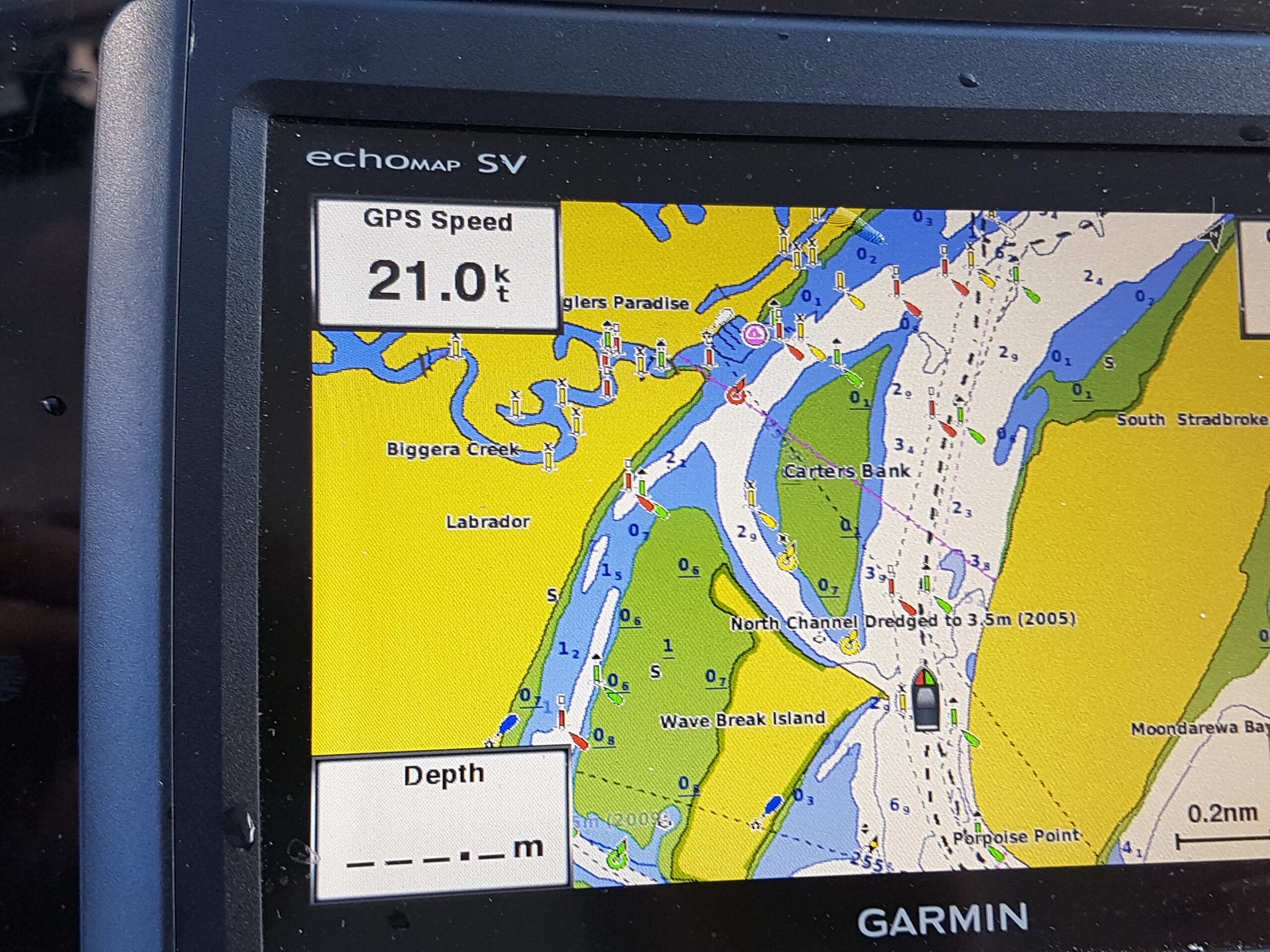
Garmin Marine Electronics – Navigation, Safety, and Finding Fish Offshore ⚓🎣
Modern marine electronics have transformed the way anglers and boaters navigate and fish offshore, and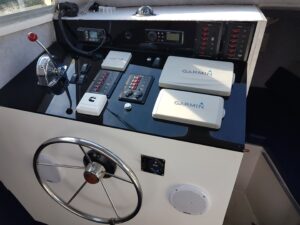 Garmin marine electronics are at the forefront of this technology. From precision GPS navigation to advanced fish-finding sonar, Garmin systems play a vital role in improving safety, efficiency, and fishing success on the water.
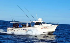
For offshore operators such as True Blue Fishing Charters, reliable marine electronics are essential tools used on every trip to navigate confidently and locate productive fishing grounds.
The Role of Marine Electronics Offshore
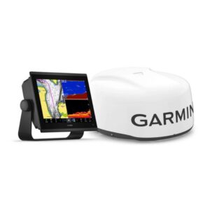 Marine electronics allow skippers to interpret what’s happening both above and below the surface. By combining multiple systems — chart plotters, GPS, depth sounders, radar, and autopilot — boat operators gain real-time awareness of their surroundings.
These technologies help to:
⚓ Navigate safely in all conditions
🐟 Locate bait schools and fish-holding structure
📍 Mark productive fishing spots
🌊 Track depth, temperature, and seabed composition
Garmin’s integrated ecosystem allows all components to work seamlessly together.
Garmin Chart Plotters
Garmin chart plotters form the heart of a modern marine electronics setup. They display detailed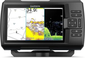 marine charts, allowing skippers to see coastlines, reefs, wrecks, shipping channels, and hazards in real time.
Key Benefits
High-resolution charts and mapping
Touchscreen and button control options
Easy waypoint marking and route planning
Integration with sonar, radar, and autopilot
Chart plotters enable skippers to return precisely to productive fishing spots and navigate complex reef systems with confidence.
Garmin GPS Systems
 Garmin’s GPS technology provides highly accurate positioning, speed, and heading data. GPS plays a crucial role in offshore fishing by allowing anglers to:
📍 Pinpoint reef edges and pressure points
📍 Save waypoints for future trips
📍 Track drift speed and direction
📍 Navigate safely back to port
Accurate GPS data ensures consistency and efficiency, especially when fishing offshore reefs and deep water.
Garmin Depth Sounders and Fish Finders
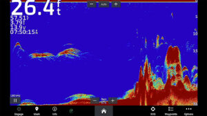
Garmin depth sounders and fish-finding sonar systems are essential for locating fish beneath the surface. These systems use sonar technology to display bottom contours, structure, bait schools, and fish arches in real time.
Common Garmin Sonar Features
🐟 CHIRP sonar for clear target separation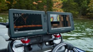
🌊 DownVü and SideVü imaging
📊 High-definition seabed mapping
By interpreting sonar readings, anglers can identify the best areas to anchor, drift, or troll.
Garmin Autopilot Systems
Garmin autopilot systems reduce skipper workload by maintaining heading, following routes, or holding a steady course during trolling or long runs offshore.
Benefits of Autopilot
⚓ Maintains precise trolling speed and direction
⚓ Improves fuel efficiency
⚓ Reduces fatigue on long days
For charter operators, autopilot allows more focus on fishing, safety, and guest experience.
Garmin Marine Radar
Garmin radar systems enhance safety and situational awareness, especially in low visibility, rough weather, or night conditions.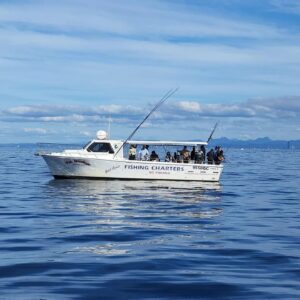
Radar Capabilities
🌫️ Detects other vessels and obstacles
⚓ Tracks weather systems and squalls
🧭 Improves navigation in fog or rain
Radar is particularly valuable when operating offshore or returning to port in changing conditions.
Integrated Garmin Marine Systems
One of Garmin’s biggest strengths is system integration. Chart plotters, sonar, radar, GPS, and autopilot communicate seamlessly, creating a unified display and control interface.
This integration allows skippers to:
Overlay radar on charts
View sonar data on multiple screens
Control autopilot directly from the chart plotter
For offshore fishing and navigation, this streamlined approach improves efficiency and safety.
Finding Fish with Garmin Electronics
Garmin marine electronics help anglers identify key fish-holding features such as: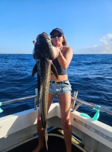
🐟 Reef edges and drop-offs
🐟 Wrecks and structure
🐟 Bait schools suspended mid-water
🐟 Temperature breaks and current lines
By combining sonar interpretation with GPS and chart data, anglers can position their boat precisely where fish are most likely to feed.
Why Professional Operators Trust Garmin
At Gold Coast Fishing Charters, Garmin marine electronics play a critical role in daily operations. Reliable navigation, accurate fish-finding, and integrated safety systems allow us to deliver consistent offshore fishing experiences while maintaining high safety standards.
Garmin’s durability, clarity, and ease of use make it a trusted choice for professional and recreational boaters alike.
Related Posts

Plan Your Next Charter
Chasing reef fish, game species, or a great day out on the water? Our crew is ready when you are.